Cartographic Design & Geovisualization
|
Fall 2018 Notes:
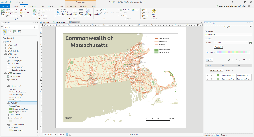
The fall course offering will include a section on ArcGIS Pro, the latest major version of ArcGIS on desktop computers. The majority of the course will still focus on the use of Desktop ArcGIS 10.6, but we will explore the general interface and some cartographic applications of ArcGIS Pro as an introduction to this newer version which will eventually replace Desktop ArcGIS as we currently know it. As noted below, students are required to have already completed Geography 385 (GIS Primer) or its equivalent prior to registering for this course. If you have fulfilled this requirement, but it has been a long time since you first learned GIS or you know your skills are rusty... it is on you to refresh your skills before fall semester begins. Student who obviously require refreshers on data management or other critical skills may be required by the instructor to enroll in Geography 402 (GIS Skills Development) as a co-requisite for the semester. If you need a guided refresher, there are a couple of ESRI books that can help (click on the names for more info)... Getting to Know ArcGIS Desktop, Fifth Edition and/or The GIS 20 Essential Skills, Third Edition. If you've taken GIS Primer recently and still have your Price workbook, refresh yourself by trying the exercises again but use different options on the tools at your discretion. Experiment and try to find solutions to spatial problems that you think up yourself. |
General Course Notes:
One of the critical foundations of geospatial science and analysis is cartography... the art and science of mapmaking. I believe that good cartography is grounded in the well-established literature and guidelines that have been developed since early humans drew pictographs on cave walls and carved locational petroglyphs in stone, and of course the many centuries of effort that have occurred since those ancient times.
Modern cartography exists at a nexus of traditional techniques and theory of information gathering and analysis that is expressed and utilized today through computer-based technologies. The approach I take in cartography courses is to introduce fundamental cartographic concepts related to map design and compilation, and to let students explore the techniques and procedures of applying those concepts to the construction of maps. I generally do not provide "cookbook" step-by-step instruction sets; instead, I expect students to explore the capabilities of geographic information systems and other software packages and suites to solve cartographic problems and generate cartographic visualizations with appropriate guidance and intervention from the instructor.
The course uses Dent's Cartography: Thematic Map Design, 6th Edition as its foundation; we also use How to Lie With Maps, 3rd Edition as a companion text. Check for both at the UI Bookstore. The class will also use some additional readings from academic journals, professional guides and other cartographically-oriented sources. Students should expect to read a significant amount of material in conjunction with gaining experience at the keyboard with digital data management, project planning, cartographic design, and geovisualization. This is not a course where students can just "phone it in". Student work will be assessed and scored on principles of data management as well as execution of appropriate cartographic design principles across a variety of workflows, blending attention to technical detail and artistic expression.
I believe that students training for a variety of careers that incorporate cartography need to learn how to be "self-rescuing cartographers", because quite often in job situations, they themselves comprise the expertise that must be consulted to undertake and complete geospatial projects. Students in this course will work through increasingly-complex applications of spatial analysis and cartographic design with a variety of data models. As an elective course for the Geographic Information Certificate program at UI, Cartography helps prepare students for a career path in GIS-related fields, whether they are geography majors or whether they are enrolled in other majors.
The prerequisite courses for Cartographic Design and Geovisualization (GEOG 390) is Geography 385 (GIS Primer) or its equivalent transferred from another institution.
For further information about the GIS Certificate Program, or undergraduate or graduate programs of study leading to B.S., M.S., or Ph.D. degrees in Geography, please contact the University of Idaho's Geography Department.
Last Updated: 07/15/18
One of the critical foundations of geospatial science and analysis is cartography... the art and science of mapmaking. I believe that good cartography is grounded in the well-established literature and guidelines that have been developed since early humans drew pictographs on cave walls and carved locational petroglyphs in stone, and of course the many centuries of effort that have occurred since those ancient times.
Modern cartography exists at a nexus of traditional techniques and theory of information gathering and analysis that is expressed and utilized today through computer-based technologies. The approach I take in cartography courses is to introduce fundamental cartographic concepts related to map design and compilation, and to let students explore the techniques and procedures of applying those concepts to the construction of maps. I generally do not provide "cookbook" step-by-step instruction sets; instead, I expect students to explore the capabilities of geographic information systems and other software packages and suites to solve cartographic problems and generate cartographic visualizations with appropriate guidance and intervention from the instructor.
The course uses Dent's Cartography: Thematic Map Design, 6th Edition as its foundation; we also use How to Lie With Maps, 3rd Edition as a companion text. Check for both at the UI Bookstore. The class will also use some additional readings from academic journals, professional guides and other cartographically-oriented sources. Students should expect to read a significant amount of material in conjunction with gaining experience at the keyboard with digital data management, project planning, cartographic design, and geovisualization. This is not a course where students can just "phone it in". Student work will be assessed and scored on principles of data management as well as execution of appropriate cartographic design principles across a variety of workflows, blending attention to technical detail and artistic expression.
I believe that students training for a variety of careers that incorporate cartography need to learn how to be "self-rescuing cartographers", because quite often in job situations, they themselves comprise the expertise that must be consulted to undertake and complete geospatial projects. Students in this course will work through increasingly-complex applications of spatial analysis and cartographic design with a variety of data models. As an elective course for the Geographic Information Certificate program at UI, Cartography helps prepare students for a career path in GIS-related fields, whether they are geography majors or whether they are enrolled in other majors.
The prerequisite courses for Cartographic Design and Geovisualization (GEOG 390) is Geography 385 (GIS Primer) or its equivalent transferred from another institution.
- Cartography students are expected to be familiar with basic geospatial data models, the operation of ESRI's ArcGIS 10, and have already-in-place mastery of essential geospatial data management techniques.
- Students who do not have sufficient background in data management may be required by the instructor to enroll in a special section of GIS Skills Development (GEOG 402) in order to bring those skills up to par.
- If you have questions about these requirements, please use the "Contact The Geographer" button below to send in your query.
For further information about the GIS Certificate Program, or undergraduate or graduate programs of study leading to B.S., M.S., or Ph.D. degrees in Geography, please contact the University of Idaho's Geography Department.
Last Updated: 07/15/18
